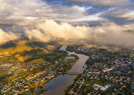
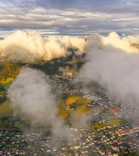
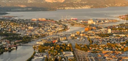
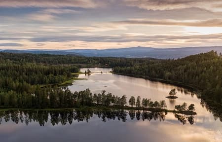
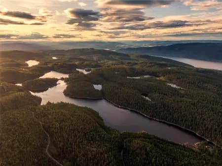
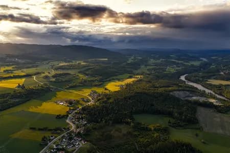
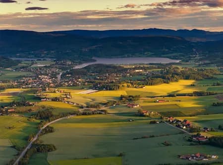
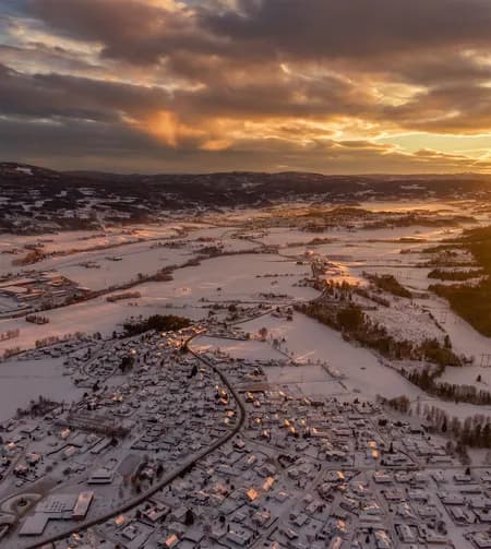
A long-lens aerial capture from above Hokksund, looking east through the Drammenselva valley toward Mjøndalen and the port of Drammen. The forested slopes of Konnerud rise on the right side of the frame, anchoring the southern edge of the valley. Shot at sunrise on a subzero morning, the image reveals layers of ground fog lifting from frozen fields and the surface of Drammenselva, Norway’s fifth-longest river carving its way through the Buskerud heartland.
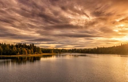
Volumetric light filters through pine forests and low-hanging mist, casting the entire river corridor in amber and gold. The faint silhouette of Drammen’s port infrastructure sits in the distance, while the foreground belongs to the quiet agricultural flats of Øvre Eiker, still locked under frost.
A rare atmospheric window: cold air, low sun, residual moisture, producing conditions that last minutes at most.